Strategy 3 Provide freight operators with tools to better navigate the city.
The actions within this strategy are divided into two categories:
Action we will DOActions we will SUPPORTAction we will do are followed by “DO” and are colored in dark gray, and actions we will support are followed by “SUPPORT” and are colored in light gray.
Learn more about how we get thereA key part of this strategy is to update the 2002 Truck Route Network. The purpose of this network is to designate routes for trucks to travel based upon their trip purpose (across town or across the country) and serve as an input in future roadway redesigns. The network will be an overlay in the Street Design Guide so that designers are directed to consider freight demands when designing future roadway projects. The Truck Route Network will be updated in coordination with Minneapolis 2040 future land uses and freight truck volume data and comparing against routes established in the current Truck Route Map. The updated network will provide guidance to where trucks should travel unless otherwise impractical (typically for the last few blocks of a delivery).
Maintaining and updating the Truck Route Network as freight volumes change over time helps planners, designers, and managers of the street network keep decisions and impacts to freight a key part of street design and operation conversations.
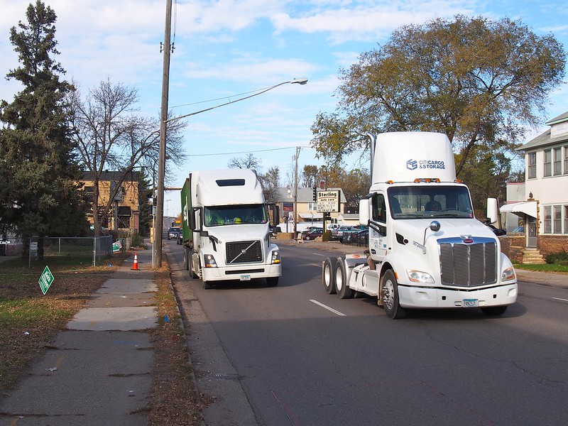
Actions to provide freight operators with tools to better navigate the city.
Freight 3.1
Adopt an update to the 2002 Truck Route Network; reduce the proportion of the network within high scoring Transportation Equity Priority areas to reduce disproportionate impacts in these neighborhoods.
Supported goals:
Climate Safety Prosperity Mobility
Related actions:
Difficulty:
Medium
Timeframe:
2020-2023 (Years 0-3)
Status:
Complete
Significant milestone(s):
An update to the 2002 Truck Route Network was completed in 2025 with a focus on reducing the proportion of the network within Transportation Equity Priority Areas 1 and 2.
Freight 3.2
Provide the Truck Route Network on the City’s website; publish it through an API.
An API stands for application programming interface; APIs are an interface that allows apps to take functionality and data from other apps.
Supported goals:
Prosperity Mobility
Related actions:
Technology 4.5
Difficulty:
Low
Timeframe:
2020-2023 (Years 0-3)
Status:
Complete
Significant milestone(s):
The Truck Route Network is available on the City's website. Periodic updates are made to the network as needed and will be reflected on the website.
Freight 3.3
Revise the Trucks and Truck Routes ordinance to align with the planning goals of this action plan.
Supported goals:
Climate Safety Prosperity Mobility
Related actions:
Difficulty:
Low
Timeframe:
2028-2030 (Years 8-10)
Status:
Not Started
Notes:
While Public Works has revised truck parking restrictions, the Trucks and Truck Routes ordinance has not been amended since 2020. This action has not been started.
Freight 3.4
Communicate live construction detour information affecting truck routes through the City’s website, an API and other communications outlets.
Supported goals:
Prosperity Mobility
Related actions:
Technology 4.5
Difficulty:
Low
Timeframe:
2028-2030 (Years 8-10)
Status:
In Progress
Notes:
Public Works is actively researching technologies and online permitting processes to communicate live detour information. This research is tied to phase 2 of the SMART grant program.
Freight 3.5
Support regional and statewide agencies in their freight planning efforts to install intelligent transportation systems (ITS) and other wayfinding or real-time signage information.
Supported goals:
Mobility Active Partnerships
Related actions:
Difficulty:
Low
Timeframe:
2024-2027 (Years 4-7)
Status:
Complete
Significant milestone(s):
Public Works continues to collaborate with MnDOT and other partners on messaging information for ITS or other signage.