Street Operations
Improve street operations and address competing demands
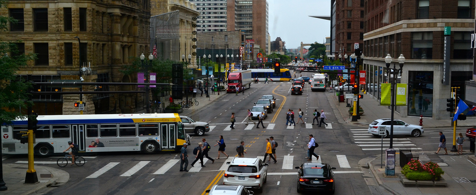
The public right of way, often referred to as our streets, comprises almost a quarter of the land area in the city1 and refers to what many people consider the street, boulevard, and sidewalk up to the private property line. The City holds this land in trust for the public good. The public right of way on any one street is limited and planning for the safe and efficient movement of people and goods within this confined space requires balancing many demands.
As growth occurs throughout the city, there is increasing need for more walkable and livable communities. Minneapolis is experiencing record-setting growth; 2018 will be the seventh year in a row that the city has seen over $1 billion in new development.2 Adapting our streets to respond to this growth within limited right of way requires a future-flexible transportation system that embraces innovative and more efficient ways to move people and goods throughout the city.
A transportation system that works for everyone regardless of ability or income will offer multiple options for getting around safely and comfortably. Achieving this balance takes a people first approach. The Street Operations topic clarifies how the Complete Streets Policy, commitment to Vision Zero, and climate goal come together into daily operations and systems planning.
- City of Minneapolis Parcel, Parks, and Waterway Data
- Building Value of Work, City of Minneapolis Community Planning and Economic Development (2018)
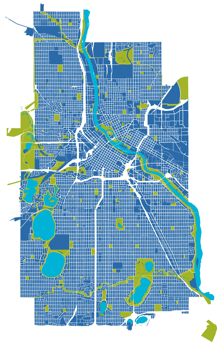
City of Minneapolis right-of-way
Reaching our transportation goals requires strategic action. Listed below are strategies and actions that we plan to undertake in the next 10 years.