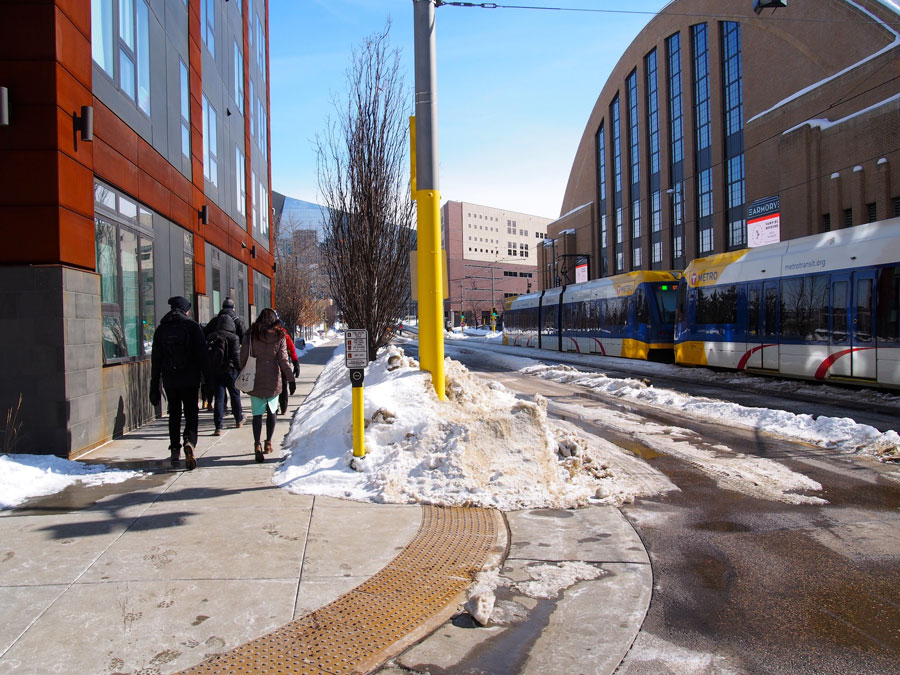
Strategy 1 Focus pedestrian improvements along and across the Pedestrian Priority Network.
The actions within this strategy are divided into two categories:
Action we will DOActions we will SUPPORTAction we will do are followed by “DO” and are colored in dark gray, and actions we will support are followed by “SUPPORT” and are colored in light gray.
Learn more about how we get thereThe Pedestrian Priority Network is a grid of streets that represent where people frequently walk and will be used to focus investments to improve the ease, comfort and safety of people walking throughout the year. The network is 298 miles and will be the focus of planning, design, operational, and maintenance, improvements for pedestrians across the city, replacing all existing network maps.
The Pedestrian Priority Network was developed by studying numerous factors that influence where people walk, including transit services, high density areas, commercial activity, land use, and connections to schools and High Injury Streets for pedestrians. Trails are also noted on the Pedestrian Priority Network; a large portion of trails are owned and managed by the Minneapolis Park and Recreation Board and provide important connections for the network as they are key walking places.
Actions to focus pedestrian improvements along and across the Pedestrian Priority Network.
Walking 1.1
Prioritize citywide planning, design, operations, and maintenance improvements for pedestrians on and across the Pedestrian Priority Network.
Supported goals:
Safety Mobility
Related actions:
Difficulty:
Medium
Timeframe:
2020-2023 (Years 0-3)
Status:
On-going
Walking 1.2
Review the 20 Year Streets Funding Plan metrics to identify and implement changes necessary to prioritize capital improvements along the Pedestrian Priority Network.
Supported goals:
Mobility
Related actions:
Difficulty:
Low
Timeframe:
2020-2023 (Years 0-3)
Walking 1.3
Replace the Pedestrian Street Lighting Corridor with the Pedestrian Priority Network for project programming, design, maintenance and other purposes, and align funding to address the additional mileage; update the Street Lighting Policy to reflect this change.
Supported goals:
Mobility
Related actions:
Difficulty:
Medium
Timeframe:
2020-2023 (Years 0-3)
