Strategy 6 Create and improve pedestrian connections across freeways, highways, rivers and railroads.
The actions within this strategy are divided into two categories:
Action we will DOActions we will SUPPORTAction we will do are followed by “DO” and are colored in dark gray, and actions we will support are followed by “SUPPORT” and are colored in light gray.
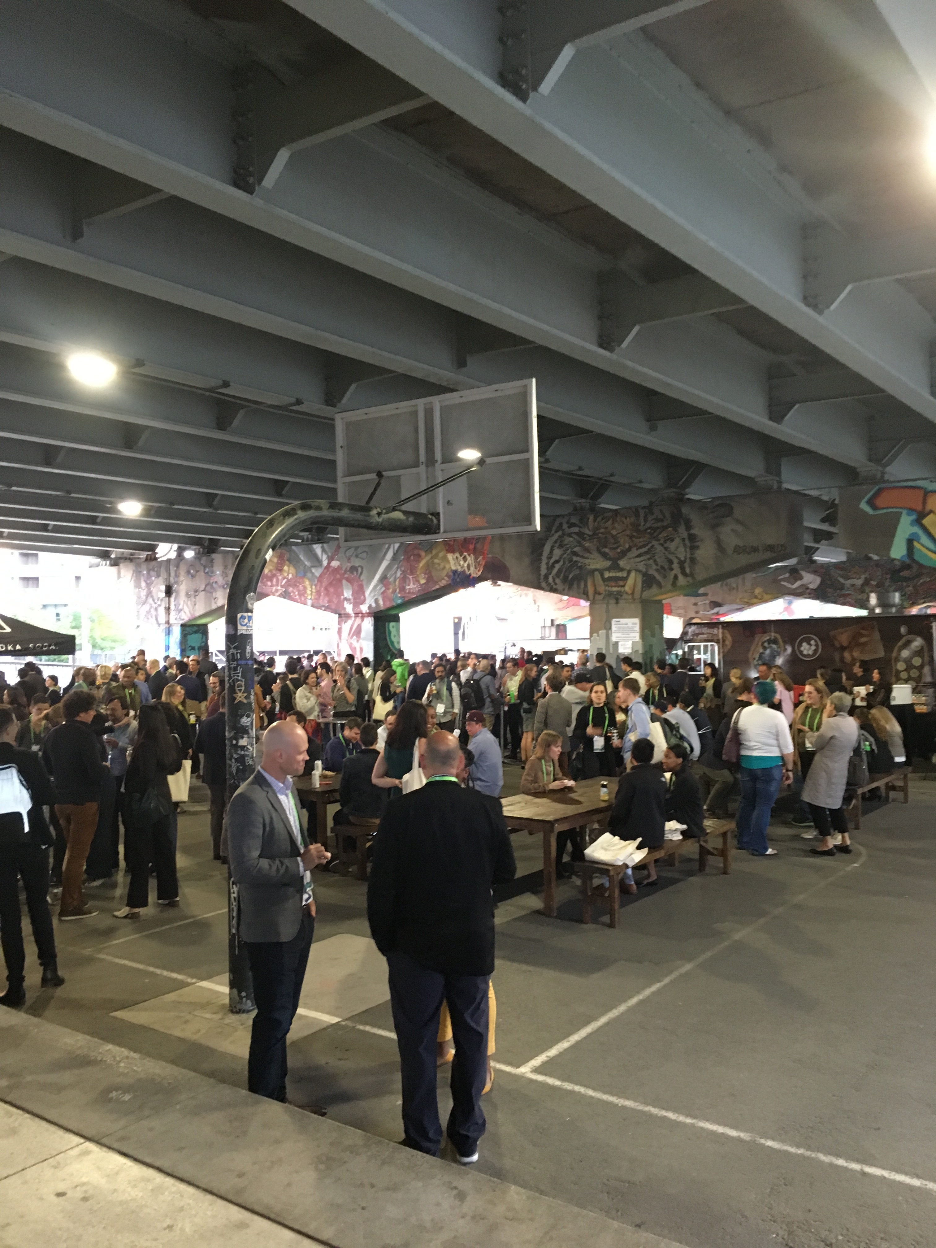
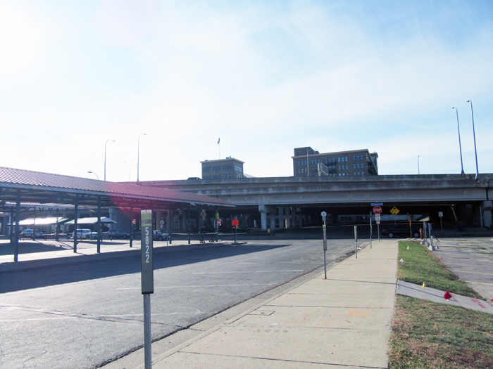
Learn more about how we get thereThere are a number of natural and human-made obstructions that limit pedestrian movement across them – such as freeways, railroads and rivers. This strategy focuses on how to make existing overpasses or underpasses more attractive, inviting and part of a seamless pedestrian network.
This strategy focuses on reconnecting neighborhoods that have been destroyed by freeway construction during the latter half of the 20th century. Reconnecting across barriers will help address the historic injustices these neighborhoods experienced and continue to experience due to the regional infrastructure.
Actions to create and improve pedestrian connections across freeways, highways, rivers and railroads.
Walking 6.1
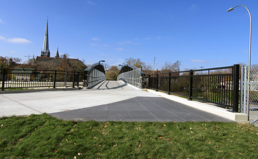
Establish spacing guidelines for connections across freeways, railroads and rivers to identify locations for new pedestrian (and bicycle) bridges or underpasses.
Supported goals:
Equity Mobility Active Partnerships
Related actions:
Bicycles 2.1, Bicycles 2.2, Bicycles 2.3, Bicycles 2.4, Bicycles 2.5, Bicycles 2.6
Difficulty:
Low
Timeframe:
2024-2027 (Years 4-7)
Status:
Not Started
Notes:
The Regional Bicycle Transportation Network (RBTN), maintained by the Metropolitan Council in collaboration with Public Works, identifies bicycle barriers over freeways, streams, and railroads within the region. Preferred spacing distances between bikeable crossings are were identified in the associated Regional Bicycle Barriers study. Minneapolis Public Works has not yet developed a guideline for the City's pedestrian and bicycle connections across physical barriers.
Walking 6.2
Reestablish the street grid in places where streets do not exist through the creation of new pedestrian and bicycle connections.
Supported goals:
Mobility
Related actions:
Operations 6.5
Difficulty:
High
Timeframe:
2028-2030 (Years 8-10)
Status:
Successfully completed to date and on-going
Significant milestone(s):
The street grid at Lake Street and Nicollet Avenue is planned to be reconnected in 2026 through the New Nicollet project. The Blue Line Light Rail Extension project is reconnecting several streets under the viaduct in the North Loop and is building a new bridge across I-94 at 21st Ave North. Several streets are planned to be reconnected through the Upper Harbor Redevelopment including the development of a new parkway along the river between 33rd Ave N and Dowling Ave N.
Walking 6.3
Identify funding for connectivity, safety and aesthetic improvements for underpass or overpass improvement projects such as I-94 near the Farmer’s Market and the I-94 viaduct through the North Loop.
Supported goals:
Mobility Active Partnerships
Related actions:
Difficulty:
High
Timeframe:
2028-2030 (Years 8-10)
Status:
Successfully completed to date and on-going
Significant milestone(s):
Public Works continues to look for opportunities to provide connectivity, safety and aesthetic improvements under or over highways. Recent examples include safety and public art under Highway 55/Hiawatha Avenue at Lake Street. Additionally, the proposed Blue Line Extension Light Rail project would add street connections in the North Loop under the viaduct at 8th Ave N and 9th Ave N and over I-94 on 21st Avenue North.
Walking 6.4
Improve local street connections to freeway entrances and exits to improve pedestrian safety and comfort through enhancing signal operations and street design.
Supported goals:
Safety Mobility Active Partnerships
Related actions:
Difficulty:
High
Timeframe:
2020-2023 (Years 0-3)
Status:
Successfully completed to date and on-going
Significant milestone(s):
Minneapolis Public Works collaborated with MnDOT and Hennepin County to redesign the intersection of I-394 and Washington Avenue at 3rd Avenue North to improve pedestrian safety and comfort.
Walking 6.5
Identify opportunities and partnerships to design, fund and construct connections over and under highways to reconnect neighborhoods that have been bifurcated by freeway construction and to amend the resulting injustices faced by those neighborhoods, and over railroads.
Supported goals:
Equity Prosperity Mobility Active Partnerships
Related actions:
Operations 8.5
Difficulty:
High
Timeframe:
2028-2030 (Years 8-10)
Status:
In Progress
Significant milestone(s):
The Blue Line Extension Light Rail Transit project proposes reconnection over/under freeways at 21st Ave N and under the viaduct in the North Loop. Staff continue to pursue opportunities for partnership projects with other agencies such as Rethinking I-94, Hwy 252/I-94, and more.
See also actions:
- Bicycling 2.2
Non-motorized bridge over Interstate 94 - Bicycling 2.6
New river crossings for Midtown Greenway and Great Northern Greenway - Street Operations 6.5
Eliminate gaps in street grid and reopen Nicollet Avenue at Lake Street